Bij mijn werk aan Data Fitness voor DataEther maken we gebruik van aardig wat open source software en libraries, zie bijvoorbeeld mijn vorige post.
Ik probeer ook wat terug te doen door dat soort projecten te steunen, soms met code, some met een bijdrage. Nu ben ik zelf iets begonnen dat wellicht ook voor anderen bruikbaar is, Python code om de metadata uit JPEG 2000 bestanden om te zetten naar geojson.
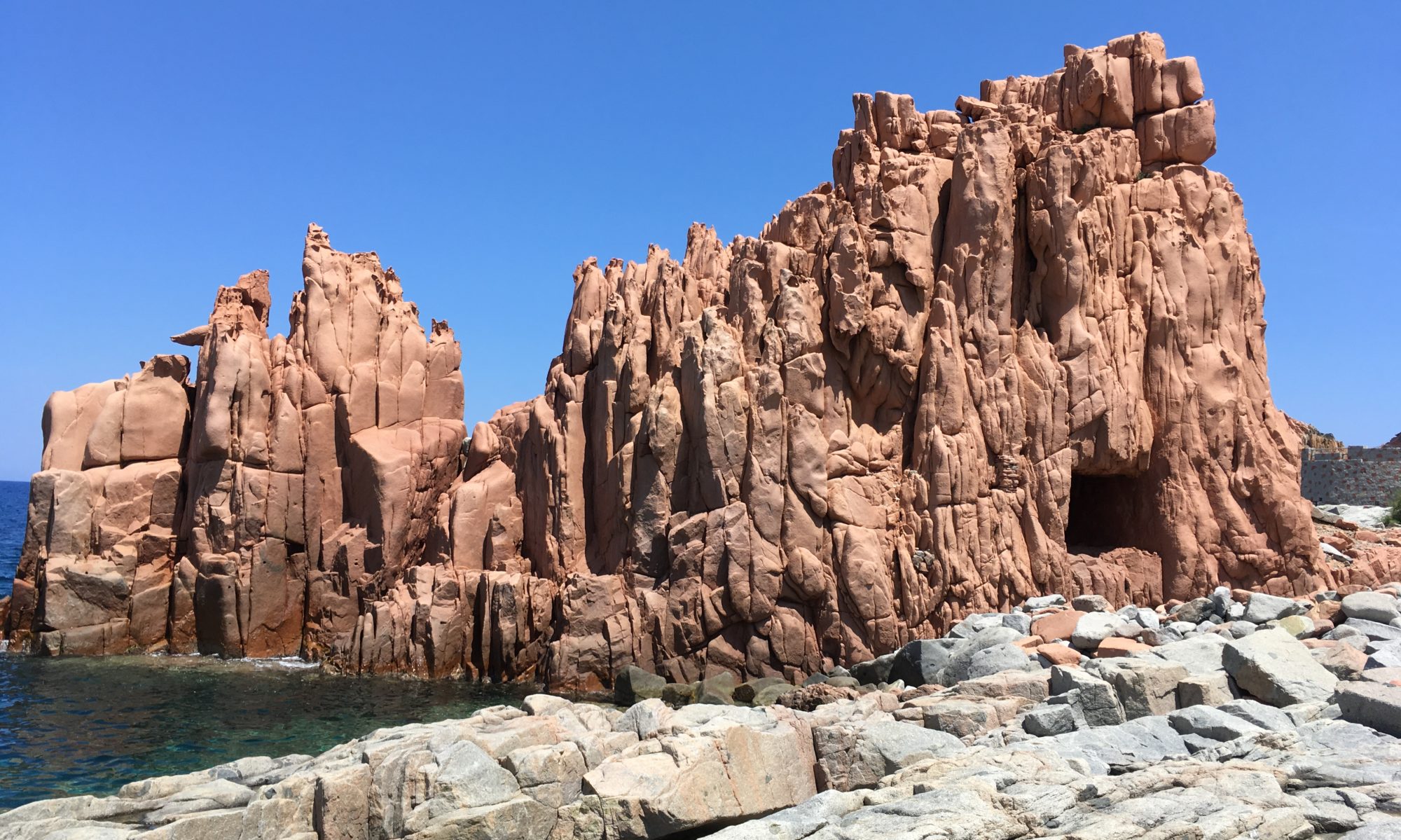
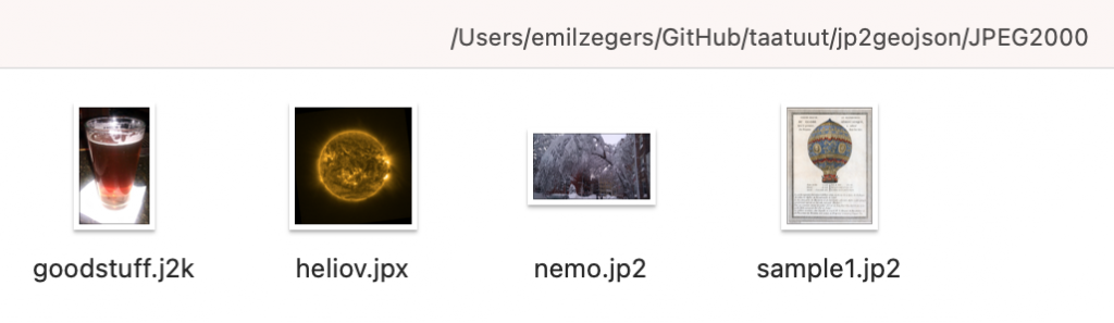
Voorbeeld JPEG 2000 bestanden, j2k, jpx, jp2
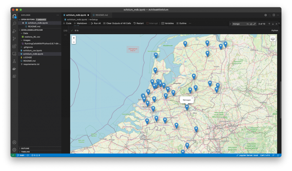
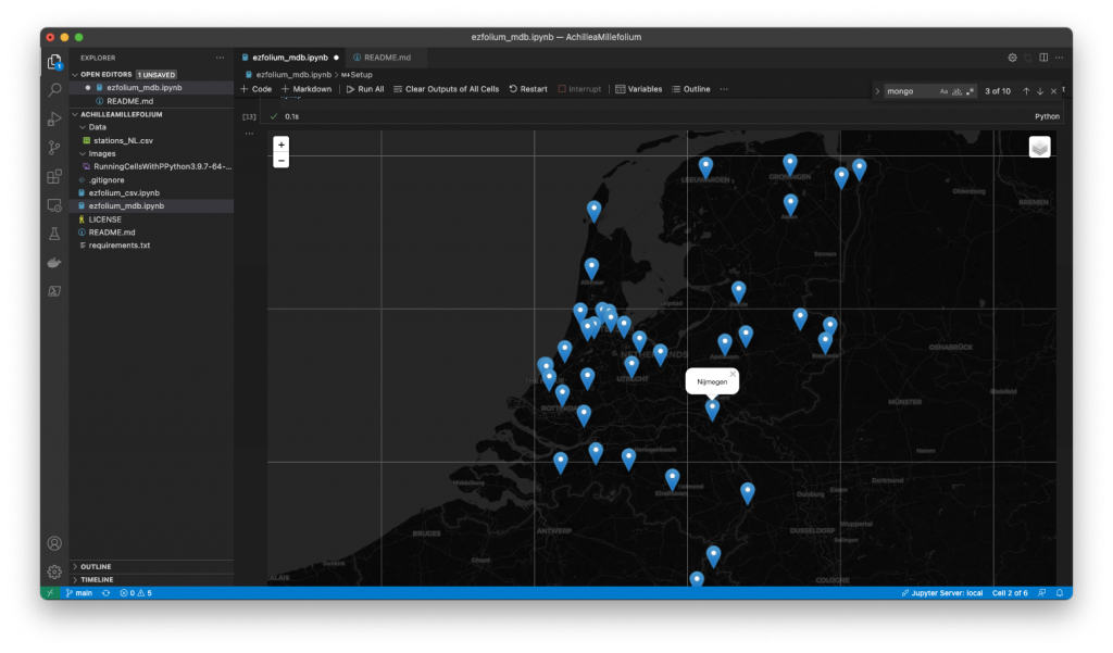
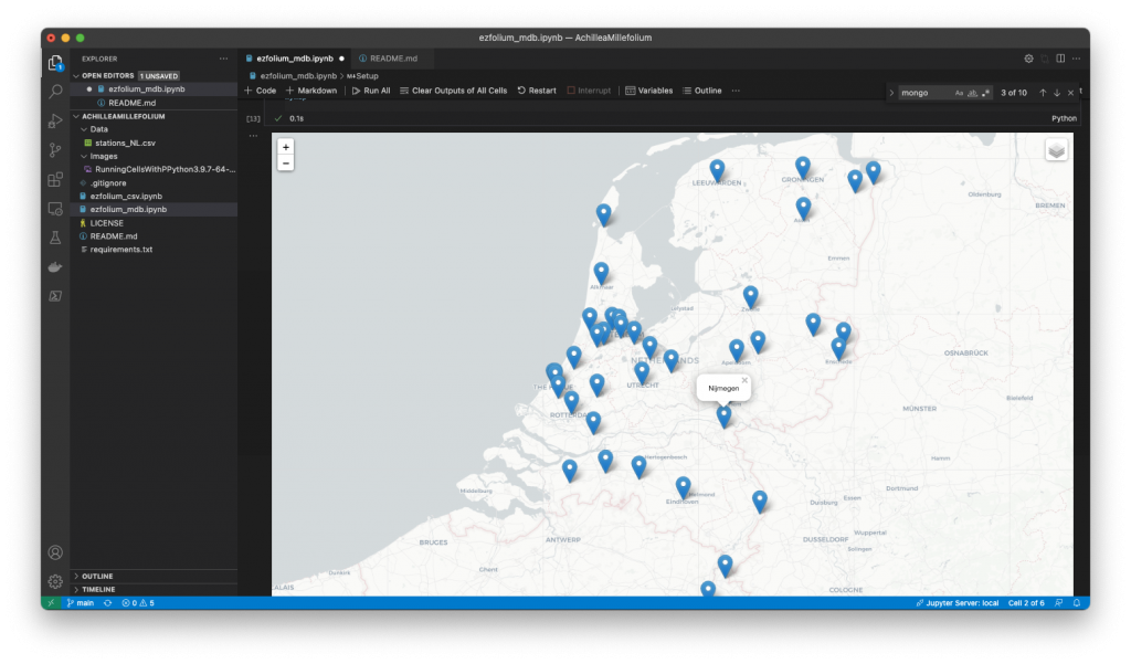
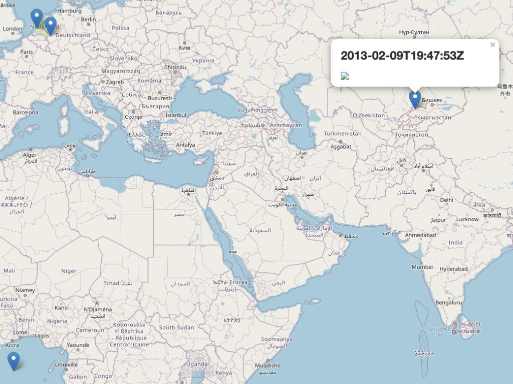
Ik was (ben…) hier naar op zoek omdat binnen de Proof of Concept die we momenteel met Data Fitness draaien aardig wat JPEG 2000 bestanden gebruikt worden waarvan het dan nuttig is om deze metadata waaronder locatie informatie eruit te filteren zodat je de bestanden op de kaart kan plaatsen en daarmee ook ruimtelijke analyses kan uitvoeren.
Ja ja, nog inclusief de niet te vermijden (0,0) locatie 🙂
Deze library( in wording… de ‘works on my machine‘ sticker is net binnen) is zwaar geïnspireerd door photos2geojson die dit al doet voor JPEG en TIFF bestanden.
Jippie, hij doet het!
Mocht je er eens verder naar willen kijken, of er misschien zelfs iets mee kunnen, ga dan naar https://github.com/taatuut/jp2geojson
Er zijn inmiddels ook al een paar issues te fixen voor een eventuele enthousiasteling.
En mocht je een kant en klaar tooltje of Python module kennen die dit al heel lang veel beter doet , dan wil ik het ook nog steeds graag weten.
Yes, I more or less stole the above header from a NY Times article (https://www.nytimes.com/2017/03/24/science/hibernation-spring-bears-bees-bats-arctic-squirrels.html) as I needed a tag line to express how coming back from a long dormant period feels. The time since the last post was mainly filled with finishing building the house, and making it livable (last piece of resistance is the garden), lots of the normal work-work, and for the last few months of course the very sad corona-situation that blocked and changed a lot of things too.
Now the time has come to start doing some more data exercises again, preferably geospatial but I won’t refuse to take up other data challenges too, like linked data (wrote a short post on that a while ago at LinkedIn, mmh need to follow up on that one too).
Sensing Clues is a non-for-profit organisation working with several IT partners that provide technology and free consultancy to create a wildlife intelligence platform that helps to prevent human-induced threats for nature like poaching and illegal logging, and to improve peaceful human-wildlife coexistence.
Sensing Clues is always looking for more help in the form of technologies or services so if you feel you can help, let me know or contact them directly.